
Course Map
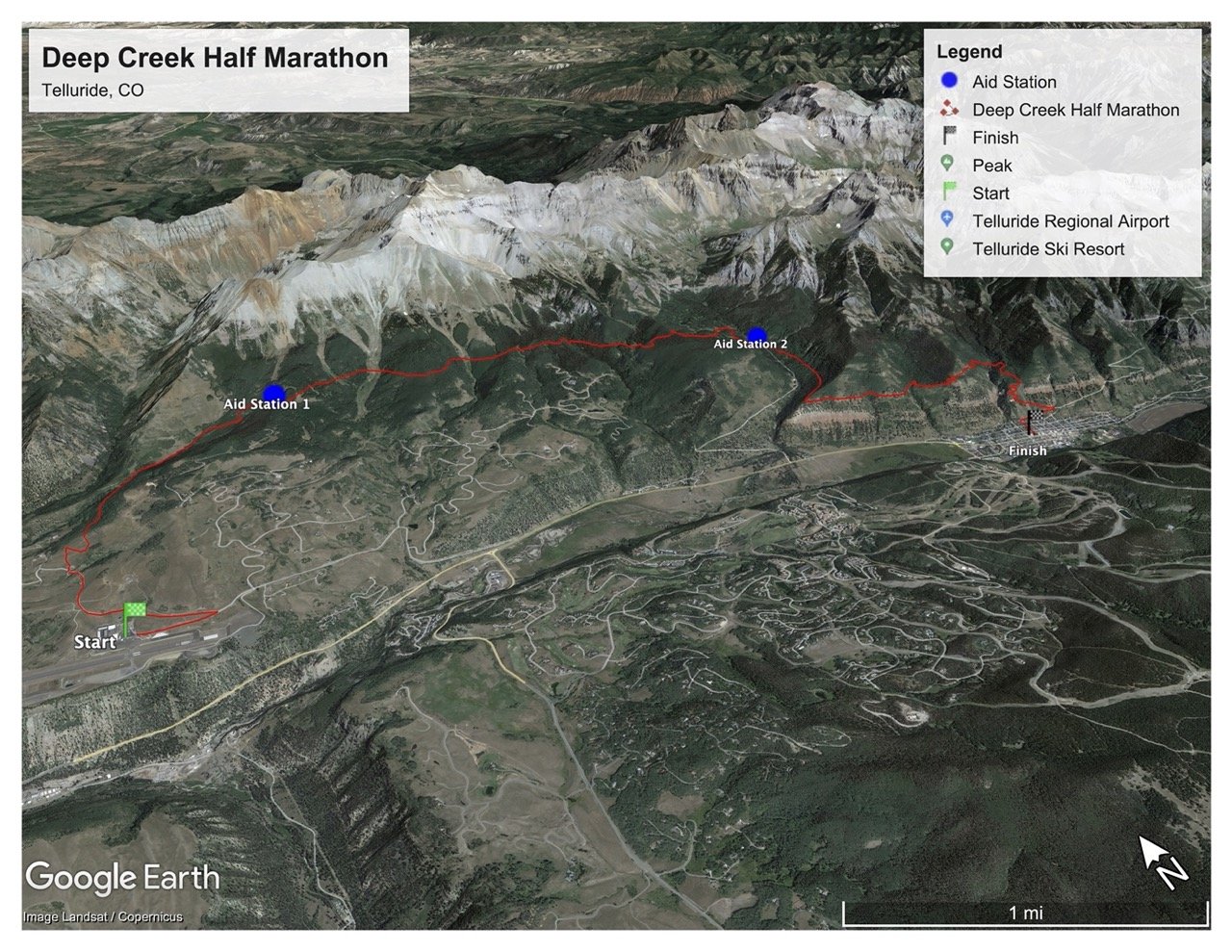
Click this Caltopo link to view an interactive version of the course
View and Save the Strava route of the course here
Download the GPX of the course map here
To download other types of course files, click “export” on the upper left of the caltopo screen.

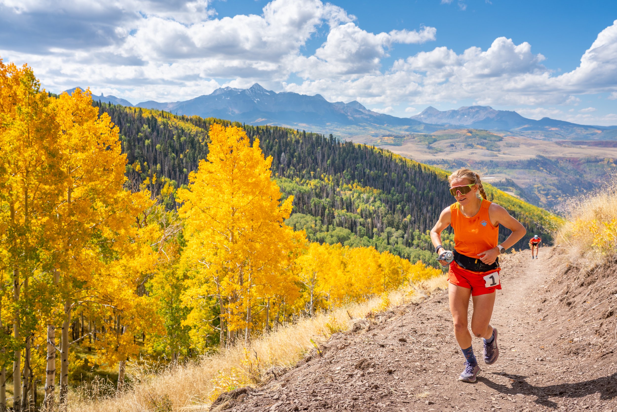
Spectating
While the best spectating option for this race is probably to head up into the aspens along the course and enjoy the colors among the racers, we do have one mild hiking option for spectating is to view the start, then drive up to the top if Mill Creek Road, and hike up to Aid Station 2 (See map link above for more info). Then come join us at the finish afterwards!